View Upper Mangrove NSW in a larger map
To reach the settlement I rode down Dubbo Gully Road at Mangrove Mountain.This is now a service track to allow access to the catchment area of Mangrove Creek dam but was once part of the original road that allowed travelers to reach Gosford.

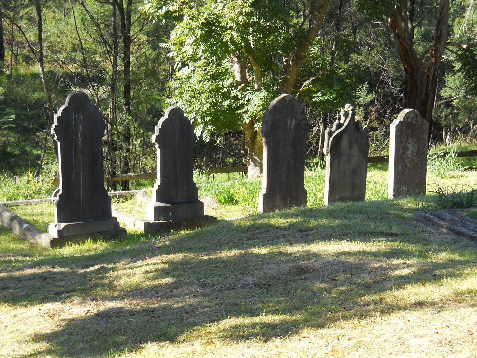
At the base of the descent the road crosses Mangrove Creek. As you follow the road around you find the Upper Mangrove Cemetery. The cemetery was part of the St Thomas' Church and until a bushfire destroyed it in 2002 the church was still situated here.

Also around this area you can find evidence of the convict built nature of this road. This area is connected to the Great North Road by the Simpsons Track. It is thought that this road was built at around the same time as the Great North Road was being constructed between 1828 and 1836.


Further Photos


Further Reading:
The Convict TrailWildwalks - Bushwalking Information
No comments:
Post a Comment